The name Mooselookmeguntic is belived to have originated from an ancient
Abanaki word. It means portage to the moose feeding place, or moose
feeding among the trees. This lake is 16,359 acres in size, the second
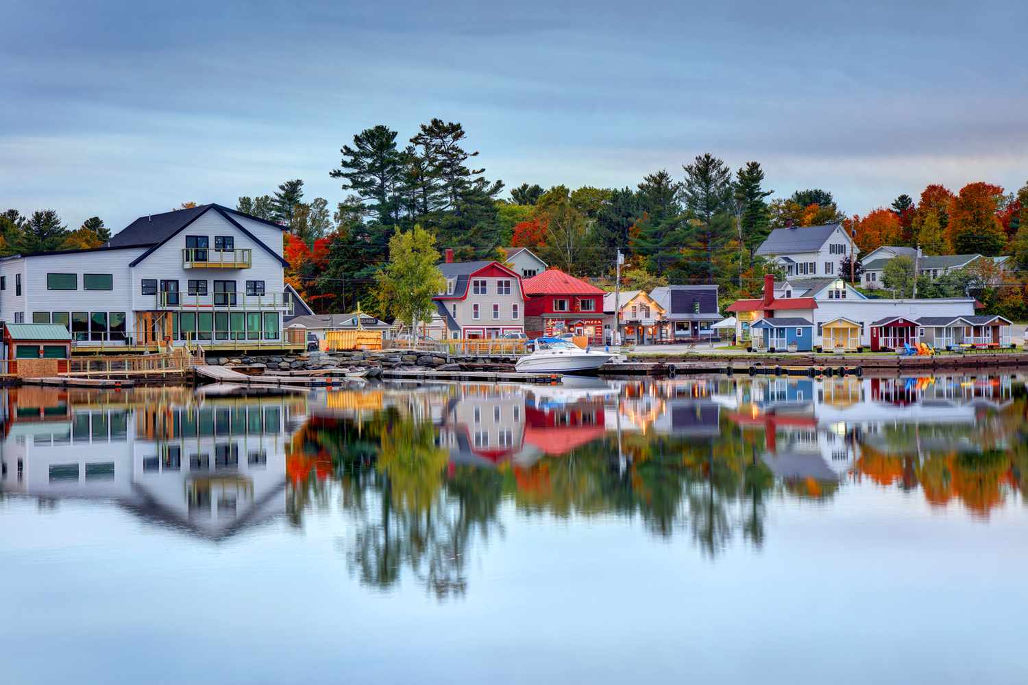
largest in Maine, and is famous for its recreation opportunities and
magnificent scenery. The maximum depth is 132 feet.
Mooselookmeguntic Lake Waterfront Real Estate Mooselookmeguntic Lake Area Guide
Mooselookmeguntic Lake is full of salmon, brook trout fallfish, brown
trout and many other types of fish, bringing fisherman from all areas
to the lake. The lake is located in Franklin County and Oxford County, and is part of the Androscoggin River watershed.
The lake's waters flow out to the southeast, into Upper Richardson Lake. There is a dam between the two lakes called Upper Dam. The dam raised the level of Mooselookmeguntic Lake about 14 feet, causing it to become joined to Cupsuptic Lake forming a reservoir. The two lakes had been separate before the dam was built. There are two large islands in the southern portion of Mooselookmeguntic Lake called Toothaker Island and Students Island.
Enjoy the Outdoors
Hiking trails around the area also provide campers
and day-trippers with beautiful views of the area. Just three miles from
Rockery campground on the Mooselookmeguntic Lake is the Appalachian
Trail, which provides a route to the Height of Land Overlook, which
offers a spectacular view of the lake and surrounding areas.
The land surrounding Mooselookmeguntic Lake boasts 9 major protected land parcels. These parcels are public access and can be used for recreation such as camping, walking and hiking the trails, and wildlife viewing.
Additional Maine Lake Resources
Learn About Local Lakes
Lakes of Maine (previously known as PEARL) is supported through a collaboration of research, management, and citizen-volunteer organizations, and is a superb example of cooperative stewardship. It is a searchable data base for Maine lakes initially created in collaboration between the University of Maine and the Maine Department of Environmental Protection (DEP). You can access just about anything there is to know about any given lake or watershed. Size, depth, location, fish species, plants are all available. The Knowledge Base includes the most current articles and scientific data.
This resource will not only provide environmental information, but will be a place where you can search specific lakes by name and their exact location using interactive maps and tools.